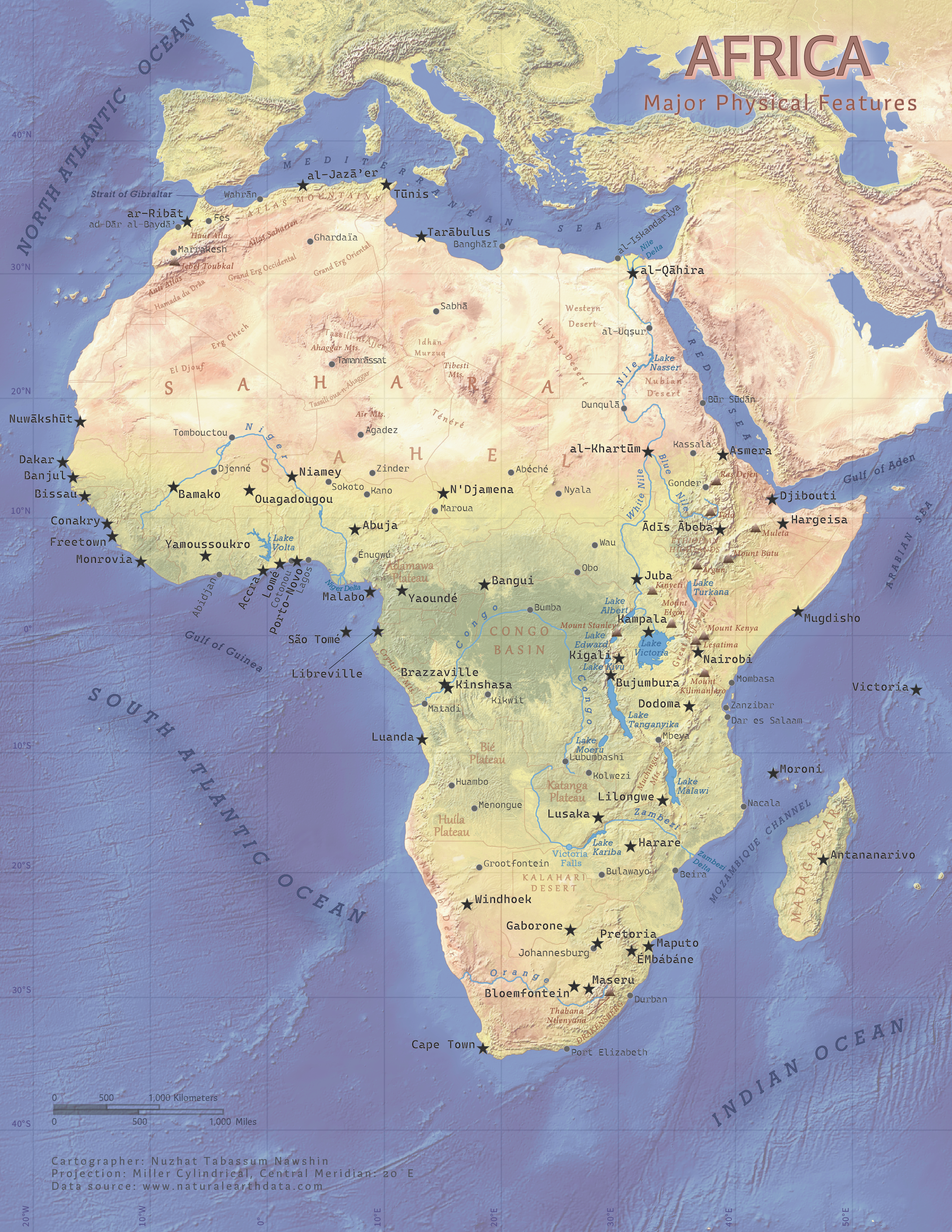
Physical Map of Africa
Tools: ArcGIS Pro, Adobe Illustrator
This map is a part of my teaching experience for Introduction to Cartography course (GEOG 370) at UW-Madison (2023). I was new around town when I started teaching this lab without having taken this course myself. I constructed a little segment of the map in each lab meeting to demonstrate ArcGIS Pro and Adobe Illustrator techniques to my students. As they grew confident using the tools, I only helped them complete their layouts, leaving mine incomplete. I felt that it was only fair to my students (and myself) that I finished it too!
The biggest challenge was to put my knowledge of the typography conventions and principles into practice. I experimented with various font types with tracking, kerning, leading and halos keeping the concepts of visual hierarchy and figure-ground in mind. Unlike any other labs I've conducted or participated in, this one demanded explicit simplicity in design and placed considerable emphasis on labeling. Through this process, I came to realize how refining my Illustrator skills and diligently attending to details could enhance my skill set.