Threaded Landscapes
A Nokshi Katha Inspired Basemap
This slippy basemap was created for my Graphic Design in Cartography course (GEOG 572) at UW-Madison (2022) drawing inspiration from a distinct art/aesthetic style. Named after the style it embodies, the 'Nokshi Katha' map seeks to capture a facet of my cultural aesthetic.
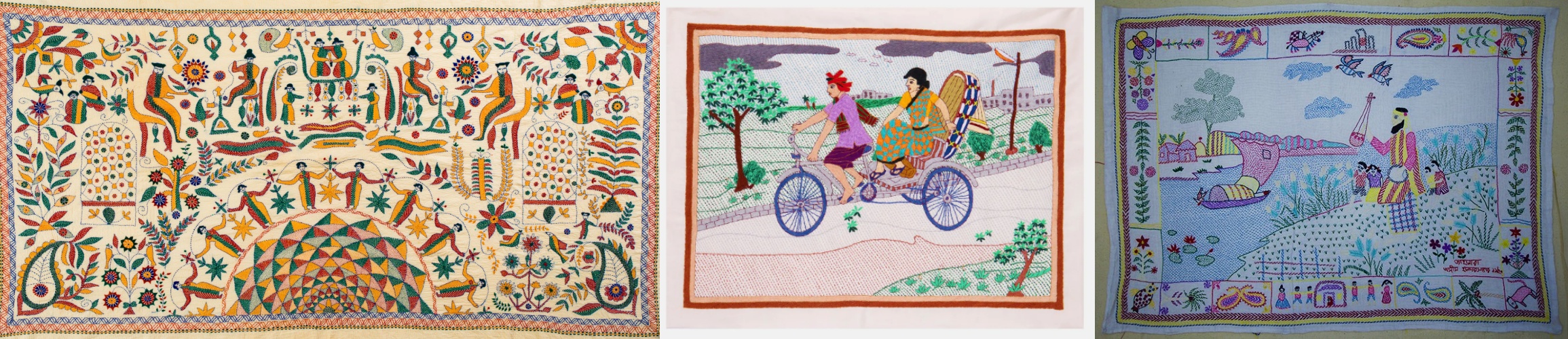
Nokshi Katha (in bengali) is a centuries-old art tradition of making embroidered quilts that is hand-stitched by the women of rural Bengali communities of Bangladesh and the Indian state of West Bengal, Tripura and Assam.
Nokshi Katha usually refers to cloths embellished with detailed embroidery works that are typically used as used as winter blankets. The word Katha means rags or old cloths while Nokshi originates from the Bengali work "noksha" which refers to artistic patterns.
As the map is zoomed in the background color gradually changes from dark to light beige so that the other features rise to figure. Zooming in also makes the cloth-like texture of the background more prnounced.
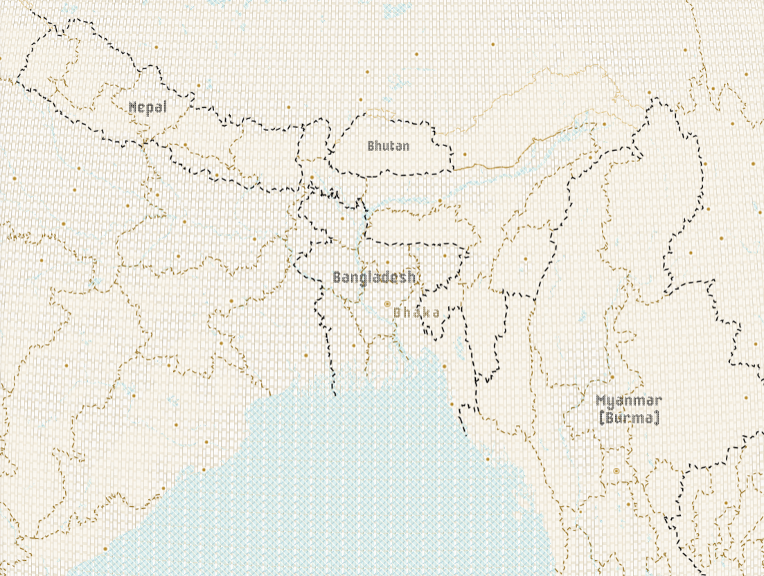
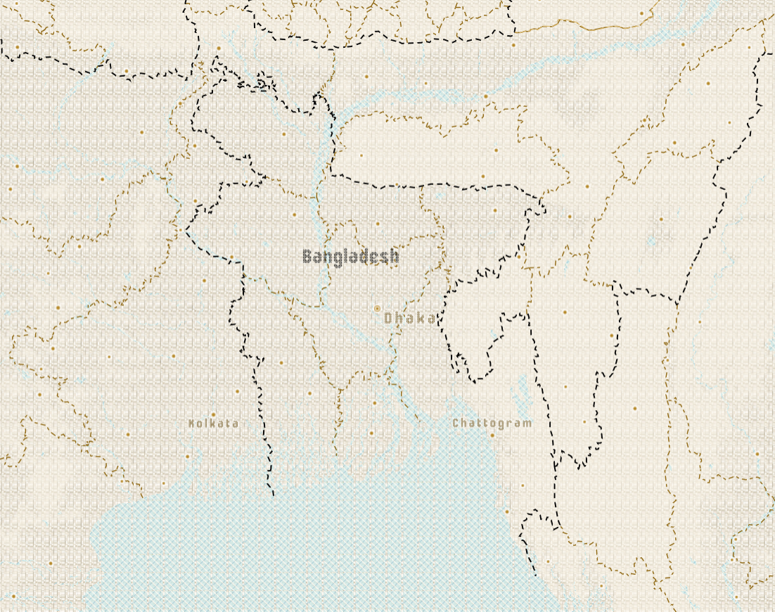
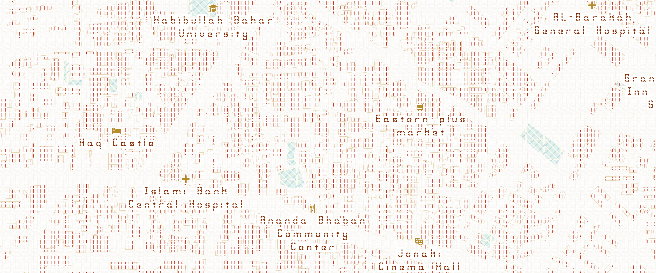
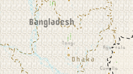
We start with Dhaka, capital of Bangladesh located approximately at the center of the country. It has the most congested residential areas.
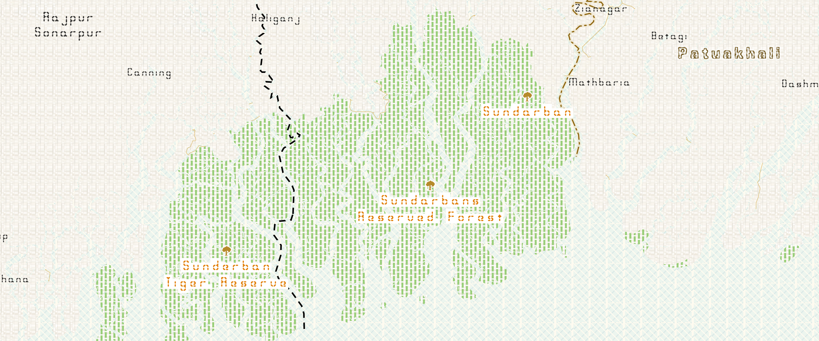
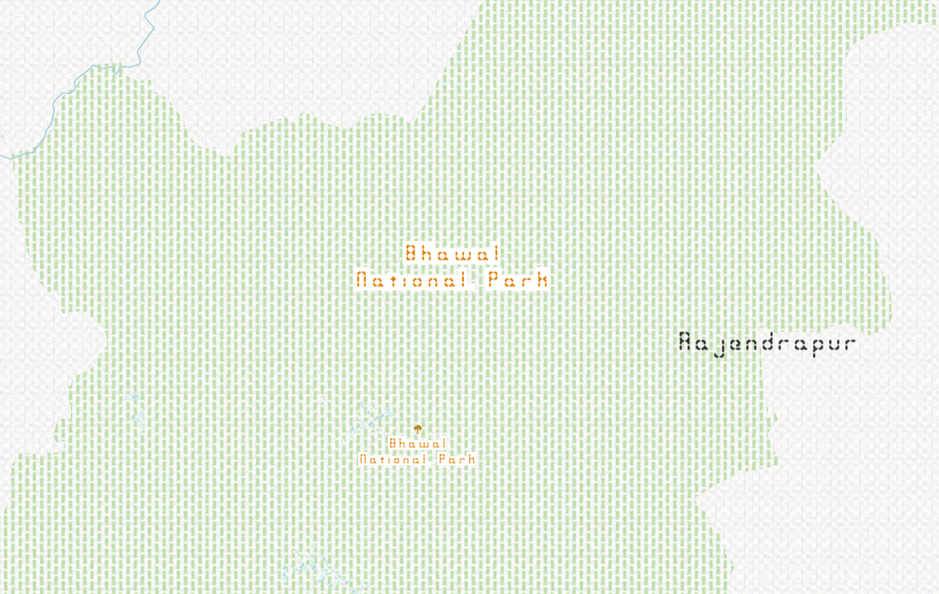
Looking at the forested south-west part of the country which is also the largest mangrove forest in the world, Sundarban.
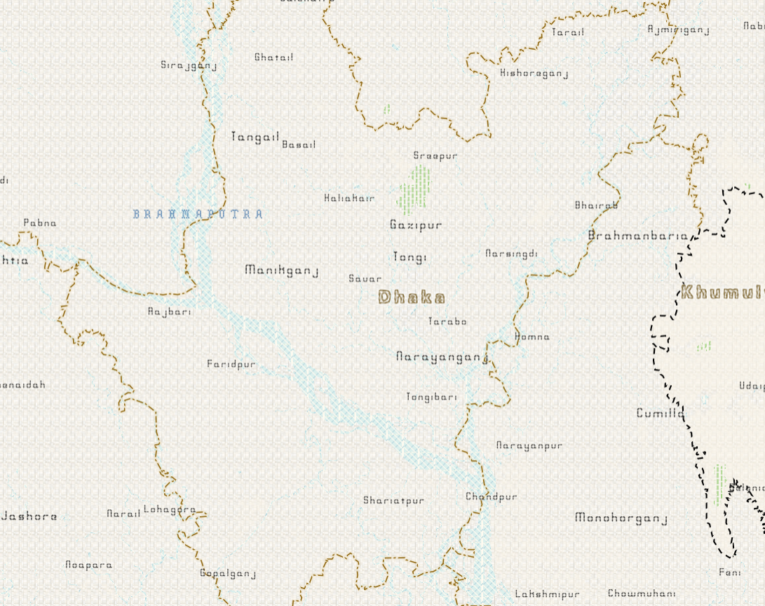
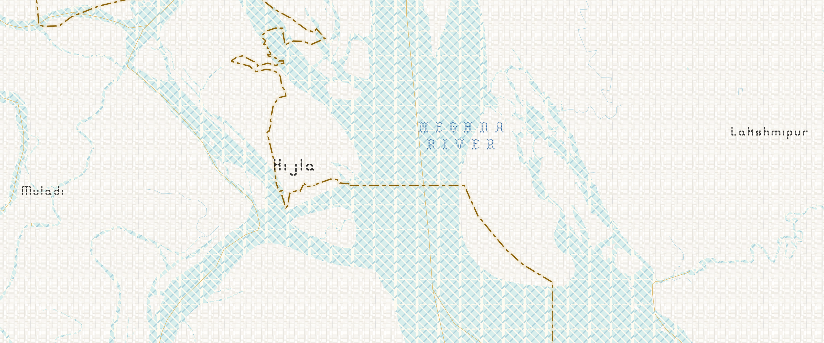
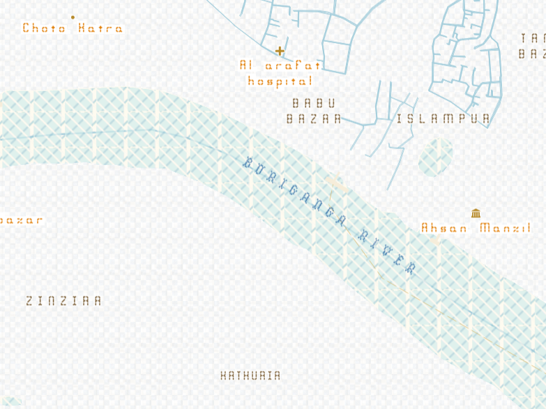
Bangladesh has a very intricate river system and Meghna is one of the most important among them.
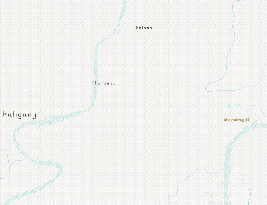
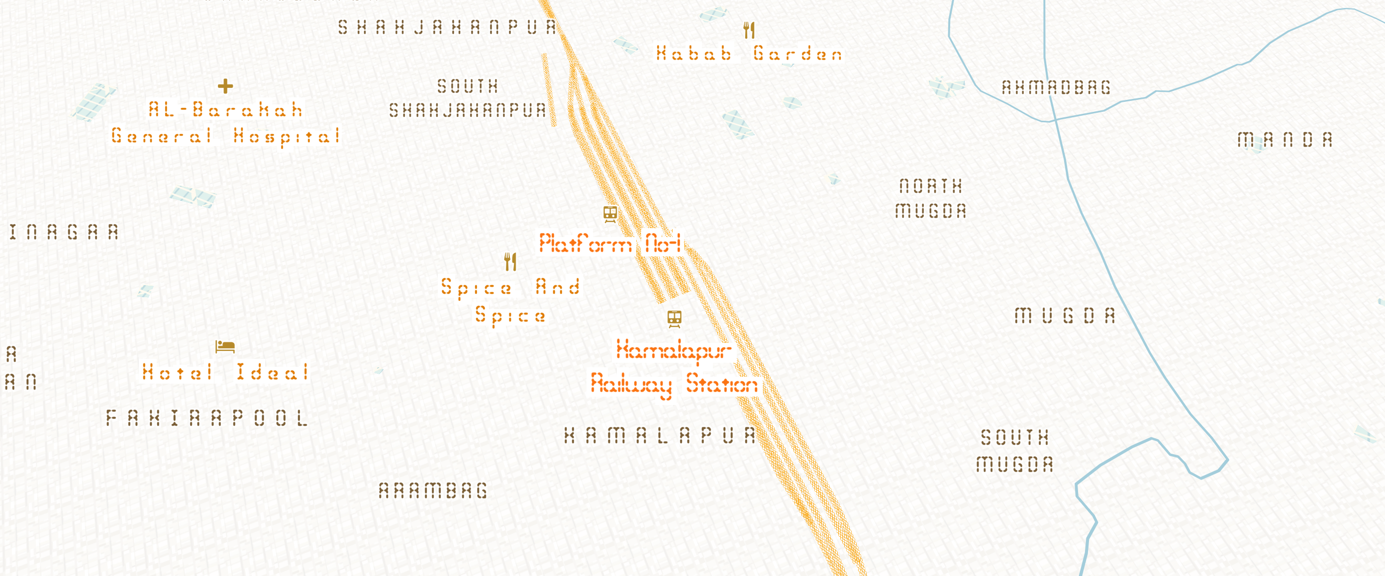
The orange cross-stitched texture on the map shows the railway lines. Kamalapur is the central train station of Dhaka.
At the global level, the country name and capital name have the same custom font, Eenvoudige Batik Regular.
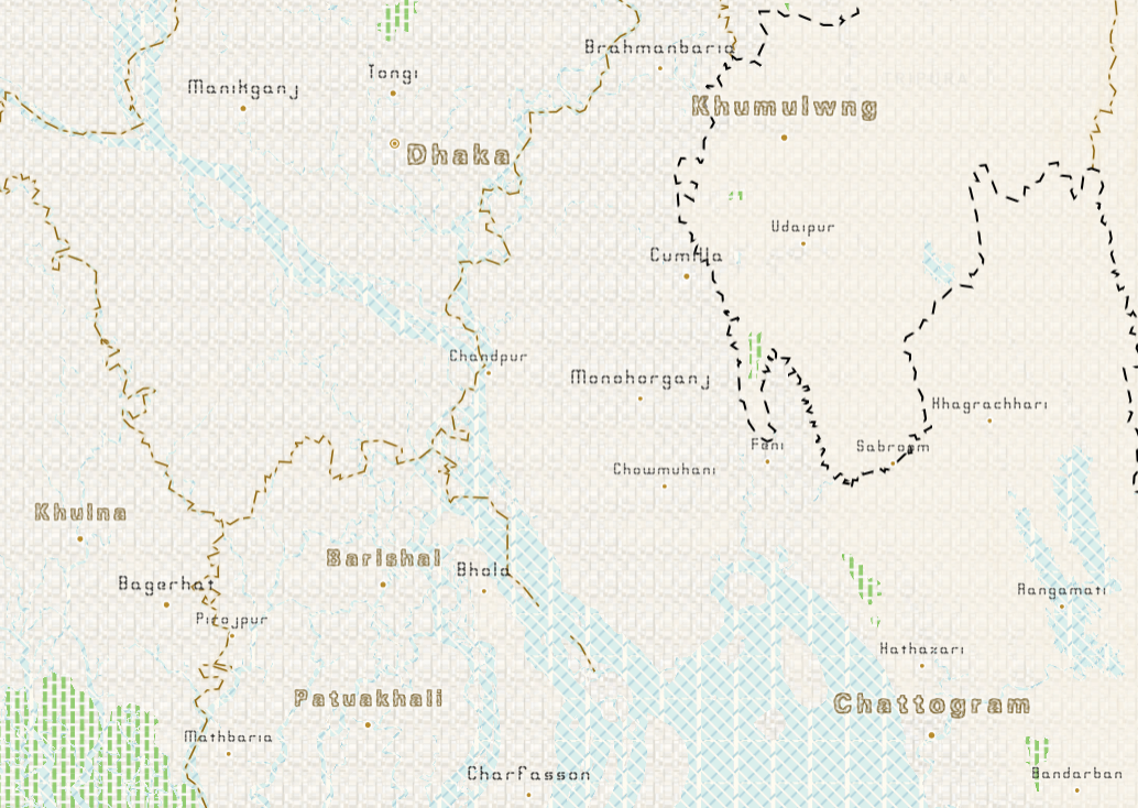
When zoomed in to country level, the name of the divisions/prominent cities changes to Jagged (BRK) Regular font while the rest of the city names use the Bleak Segments (BRK) regular font.
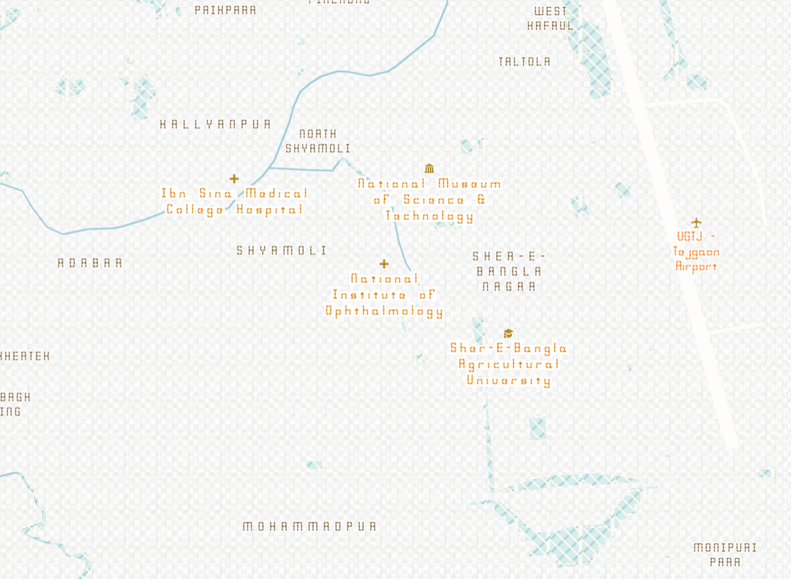
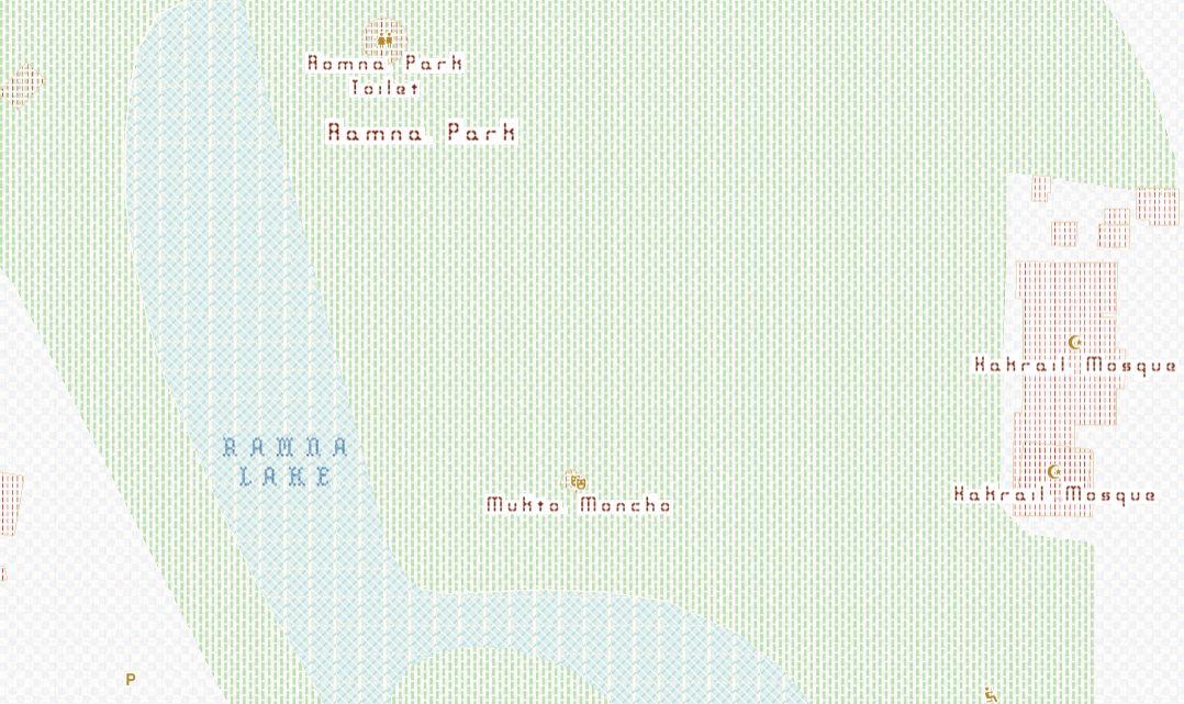
Bleak Segments (BRK) Regular for is also used for other POIs and urban settlements like area names, airport, universities, hospitals, restaurants, mosques, parks and so on in different colors.
Embroidery font is used to rivers, lakes and other water features.
See the full map here
Credits:
Map created with Mapbox Studio
Data from openstreetmap